Prince of Wales-Hyder Census Area Property Records
Property records for Prince of Wales-Hyder Census Area are managed through multiple agencies because the area is unorganized, meaning it lacks a borough government to handle local recording functions. The Alaska Department of Natural Resources handles recorded instruments for private land through the Anchorage Recording District office. The DNR also maintains land status and cadastral records through the ALRIS system. For incorporated communities like Craig and Klawock, local city offices keep property tax assessment records for parcels within city limits. This layered structure makes property research here somewhat more involved than in organized boroughs.
Prince of Wales-Hyder Census Area Overview
Where to Record and Search Property Instruments
Because Prince of Wales-Hyder Census Area is unorganized, there is no local borough recorder's office. Deed recordings, mortgages, liens, and other real property instruments for land in this area go to the Alaska Department of Natural Resources, Division of Mining, Land and Water in Anchorage. The Anchorage Recording District covers this census area. You file your document there, and it gets indexed into the statewide recording system.
The DNR office at 550 West 7th Avenue in Anchorage accepts documents by mail, in person, or through electronic recording providers for qualified submitters. The statewide land records system indexes all recorded instruments. When searching, select the correct recording district for the area where the land is located. The DNR district list at dnr.alaska.gov/ssd/recoff/distlist helps you identify which district applies to a specific area in Southeast Alaska.
| DNR Recording Office | Alaska DNR, Division of Mining, Land and Water |
|---|---|
| Address | 550 West 7th Avenue, Suite 1020 Anchorage, AK 99501 |
| Phone | (907) 269-8400 |
| Anchorage Recorder | 550 West 7th Ave., Suite 108, (907) 269-8876 |
| Online Records | dnr.alaska.gov/landrecords |
City of Craig Property Tax Records
For parcels within the incorporated limits of Craig, the City of Craig maintains property tax assessment records. Craig is the largest community on Prince of Wales Island and serves as a key hub for services in the census area. The city assessor tracks ownership information, assessed values, and tax payment history for taxable property within city boundaries.
If your research involves a parcel in Craig specifically, contact the city office for assessed value data, parcel numbers, and ownership history as tracked for tax purposes. Keep in mind that even for Craig parcels, the recorded deed instruments themselves are held at the Anchorage DNR office, not at City Hall. You need both the DNR recording index and the city assessor records to get the full picture.
| Office | City of Craig |
|---|---|
| Address | 100 Front Street Craig, AK 99921 |
| Phone | (907) 826-3275 |
Klawock is another incorporated community in the census area. Like Craig, Klawock's city offices handle local property tax matters within city limits. For land in unincorporated parts of the census area, no local tax assessment office exists, and state agencies are the primary records source.
How to Search These Property Records
Start with the DNR online land records portal at dnr.alaska.gov/landrecords. Search by party name, document type, file number, or legal description. The index covers documents recorded from 1970 forward. For older records, contact the Anchorage DNR office directly. When searching online, filter by the correct recording district for the area of Prince of Wales Island you are researching.
The DNR also maintains the Alaska Land Records Information System (ALRIS), which provides access to land status plats, survey plats, case files, and master title plats. This is a key resource for understanding the ownership status of land in a region where private, state, federal, and Native corporation land sits in close proximity. ALRIS helps confirm whether a parcel is in private or state ownership before you start searching deed records.
The Alaska Mapper system provides GIS and parcel data for state and private lands. Access it at dnr.alaska.gov/mapper. Coverage in remote parts of the census area may be limited. For the most complete picture, combine the online tools with a direct request to the Anchorage DNR office.
Property records for Prince of Wales-Hyder Census Area are found through the Alaska DNR recording system and local city offices in Craig and Klawock for taxable parcels within those communities.
What These Records Cover
Recorded property instruments for Prince of Wales-Hyder include warranty deeds, quitclaim deeds, deeds of trust, mortgages, releases, mechanics liens, judgment liens, and tax liens. Each recorded document gets a serial number, date, and time stamp. The recording index shows document type, date, serial number, and the names of all parties. To view the full text of a document, use the serial number to retrieve the image from the DNR system.
Subdivision plats for communities on Prince of Wales Island are also part of the recorded record. These show how land was divided into lots and blocks in areas like Craig, Klawock, Thorne Bay, and Coffman Cove. Easements and covenants that run with the land appear in the recording index as well. Given the prominence of the timber industry historically in this area, documents related to timber rights, access easements, and road use agreements may also appear for certain parcels.
Certified copies of recorded documents cost $5.00 for the first page and $2.00 for each additional page when requested from the DNR. Recording fees are $20.00 for the first page and $5.00 for each additional page of the same instrument.
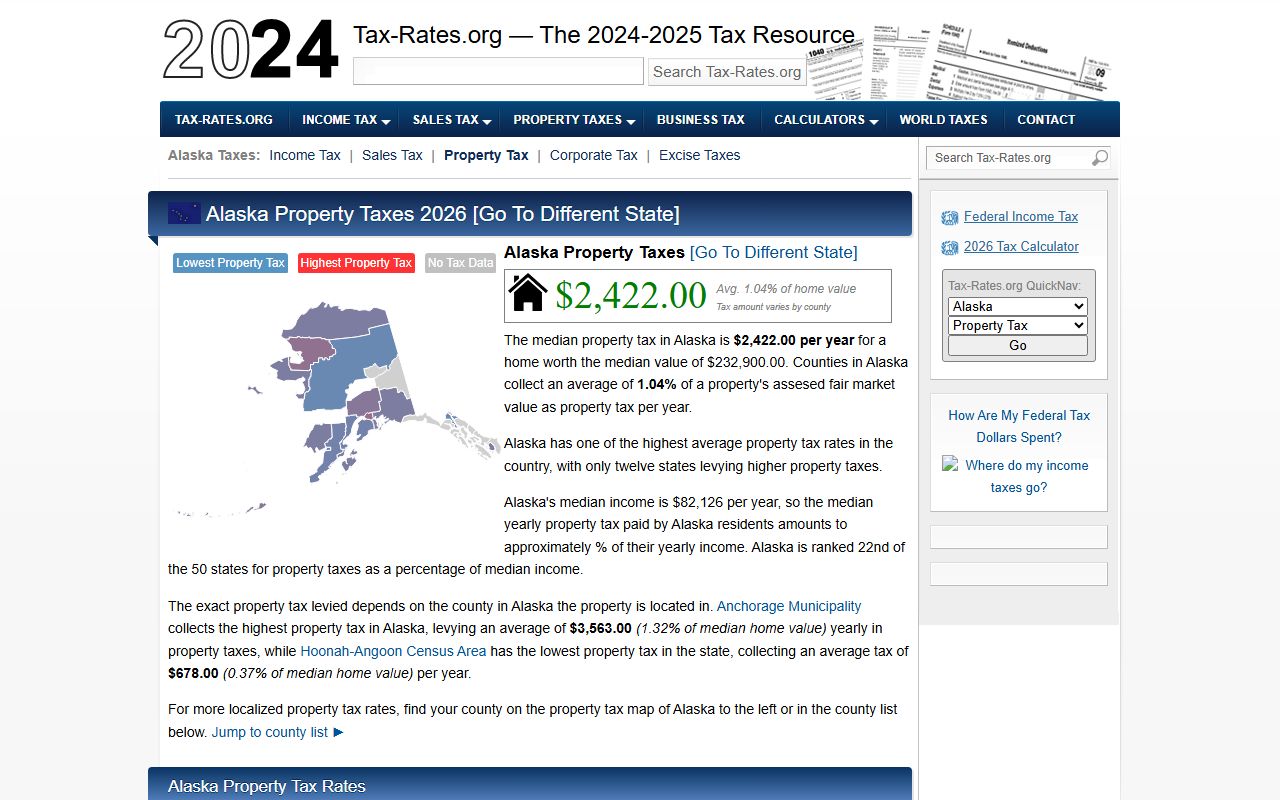
The median property tax in Prince of Wales-Hyder Census Area is $1,153. Because the area is unorganized, most tax records exist only for incorporated communities like Craig and Klawock.
Land Status in Prince of Wales-Hyder
Land ownership in Prince of Wales-Hyder Census Area is complex. A large share of the land is part of Tongass National Forest, managed by the U.S. Forest Service. State land managed by the DNR makes up another portion. Alaska Native corporation land from the Alaska Native Claims Settlement Act of 1971 is present as well, particularly lands held by Sealaska Corporation and local village corporations. Private fee-simple ownership is concentrated in and around the incorporated communities.
Under Alaska Statutes Title 40, Chapter 17, instruments affecting title to real property must be recorded in the correct recording district. For this census area, documents go to the Anchorage Recording District. Under AS 40.17.060, a recorded document gives constructive notice to all later parties. Alaska's race-notice recording rules mean recording quickly after a transaction is important to protect your ownership interest.
Note: When doing title research in Prince of Wales-Hyder Census Area, always check land status first through the DNR ALRIS system. A parcel that looks private based on a street address may actually sit on federal or state land without a valid underlying conveyance to private ownership.
Communities in Prince of Wales-Hyder Census Area
Prince of Wales-Hyder Census Area includes Prince of Wales Island and some adjacent mainland areas including the Hyder community near the Canadian border. No communities in this census area currently meet the population threshold for a dedicated city page.
Communities in the area include Craig, Klawock, Thorne Bay, Hydaburg, Coffman Cove, Whale Pass, and Hyder. Property recording for all of these areas goes through the Anchorage DNR Recording District office. For Craig and Klawock specifically, local city offices also hold property tax assessment records for parcels within city limits.
Nearby Boroughs and Census Areas
These areas are near Prince of Wales-Hyder Census Area in Southeast Alaska. Property records for all of them also go through the DNR recording system.